Conquering Mt. Whitney
Our adventurous clients came to us last spring with the idea to climb Mt.Whitney. After much planning, preparation, and training, our anticipated journey to hike the highest peak in the Lower 48, finally came to fruition. In mid-July, we set off to conquer one of the toughest day hikes in the country.
A Little Background
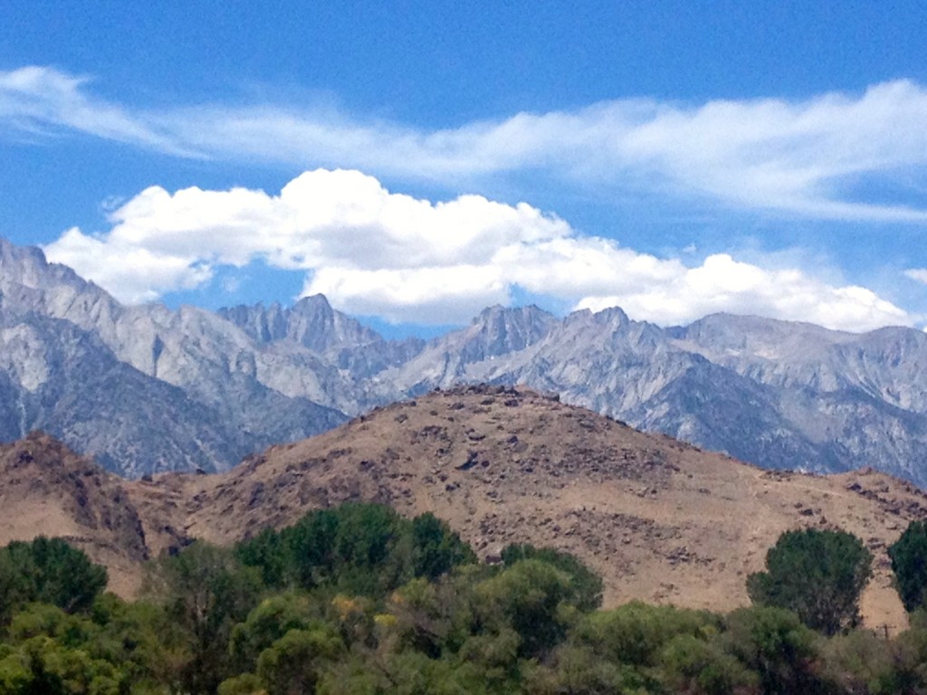
Mt. Whitney is located in the Sierra Nevada Mountains in California. It’s elevation is 14,495 feet high and the hike can be completed in 21.4 miles round trip. If you’re unfamiliar with this mountain, it’s a beautiful (to say the least) hike. One that can’t really be described with words, or done justice through pictures. The best time of the year to hike is July – September, otherwise snow and ice become dangerous factors.
The Journey
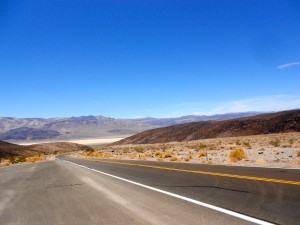
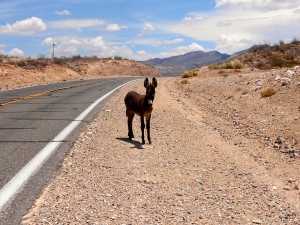
We flew out to Las Vegas, spent the night, and the next morning drove four hours through Death Valley to the small town of Lone Pine. We picked up our permits at the visitor’s office and made our way to the hotel. At this point, we were all wired with anxiety and excitement to begin our hike the following morning.
The hike began at 3am. Yes, that’s right, 3am. If you’re attempting to hike the mountain in one day, you need a very early start. The idea is that you begin in the dark and finish (ideally) in the light. Most hikers spread the hike out over 3 days, and camp at two given campsites placed evenly up the mountain. However, we felt that this option just wouldn’t be challenging enough.
Here’s how the 21 hours went (note that these times may not be exact but they’re as good of as estimate as I can remember):
3am: The hike begins!
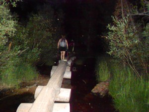
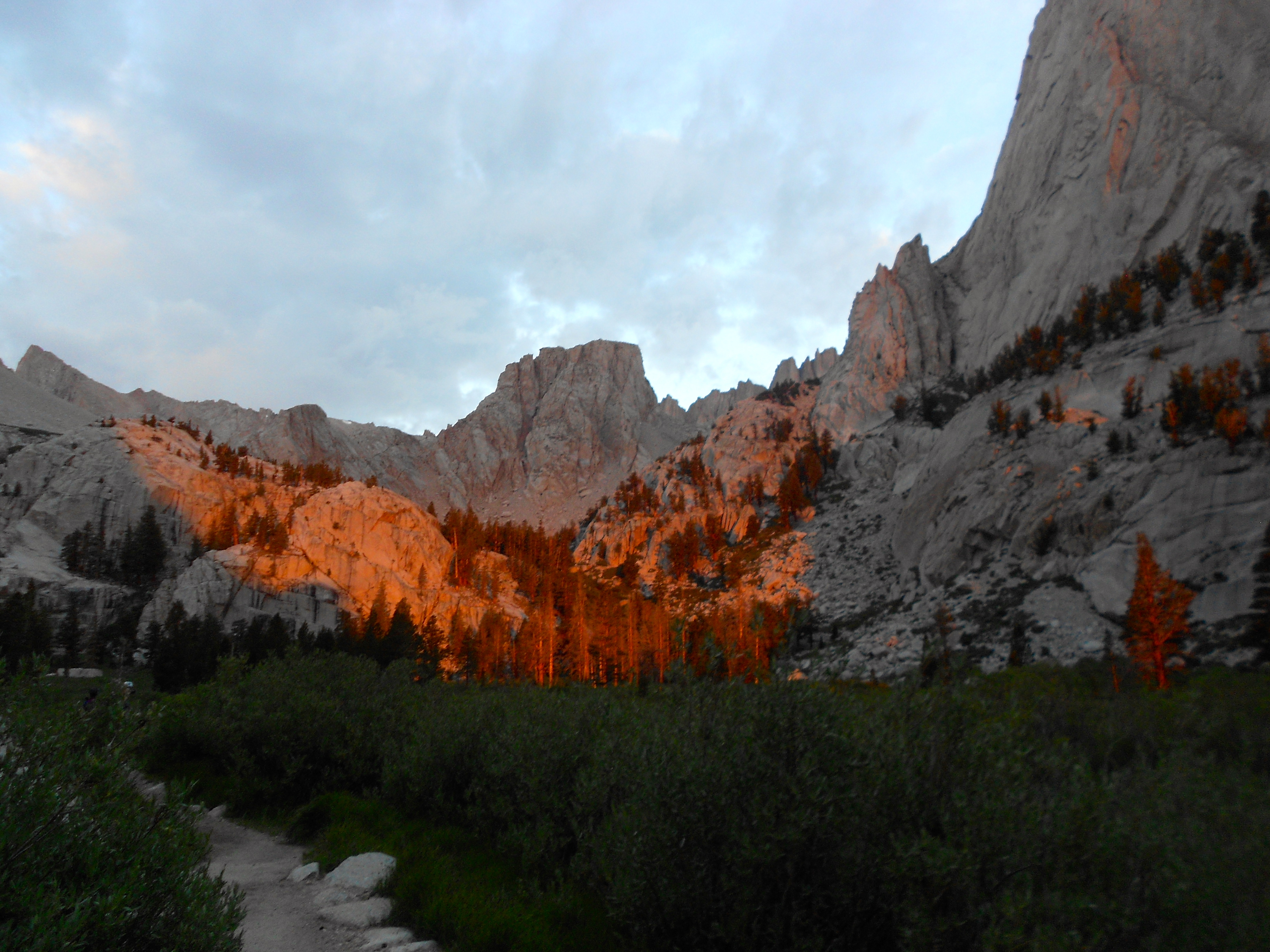
5:30/6am: The sun began to rise as we made our way towards the tree line. At this point, we had been hiking for about 2 ½ – 3 hours. The scenery was truly amazing.
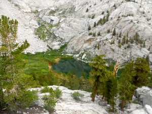
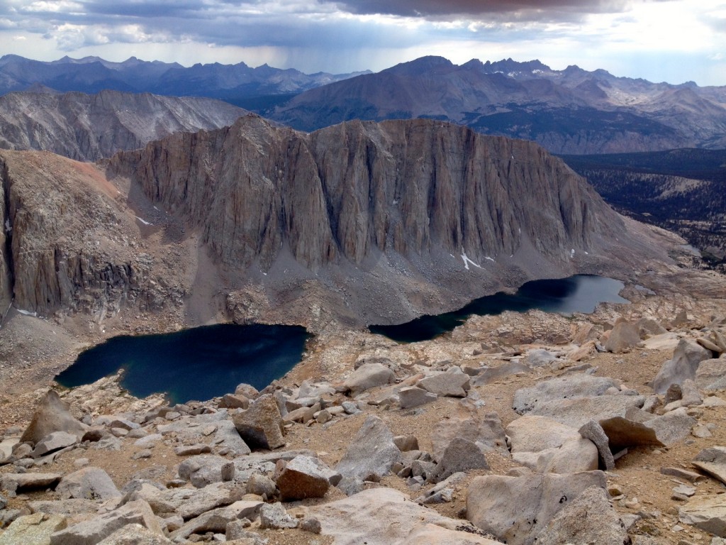
7am: As we came to the top of the tree line, we passed by one of the many incredible lakes. They were electric blue in color from the algae and had a very majestic feel about them.
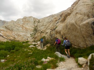
10am: At 12,000 feet, we’ve reached the start of the “97 Switchbacks”; 2.2 miles of winding trails that take you back and forth as you travel up the mountain. It’s around this point that we all began to feel the elevation.
11:50am: After a few hours of navigating through the tough switchbacks, we made it to the Trail Crest at an elevation of 13,600 feet. We could see the summit at this point and although it still looked incredibly far away, it was only 2.5 miles within our reach.
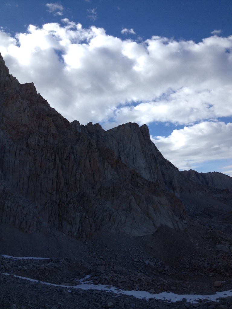
1pm: At this point, we began to question if we should continue or turn around. The ascend had taken longer than expected and the general guideline was to summit at 12pm at the latest. After this time, it can become dangerous as storms tend to roll through and there is no shelter at the top. After a few minutes of deliberation, we decided to continue regardless. We had come so far already; we had to make it to the top!
2:15pm: We reached the summit (finally)! At this point we were all feeling the elevation. Everyone was a little mentally out of it, our equilibrium was definitely thrown off and we were physically tired. We were also the only ones on the top, which was cool and a bit eerie at the same time. Most people had already submitted a few hours earlier and had begun their descend.
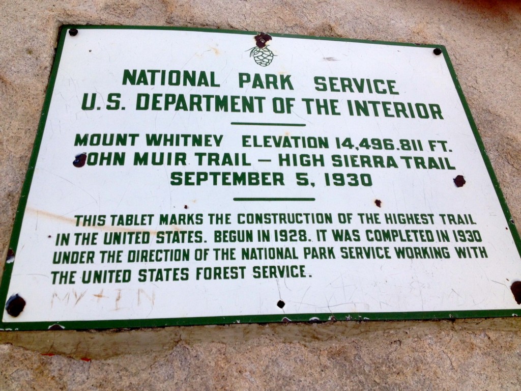
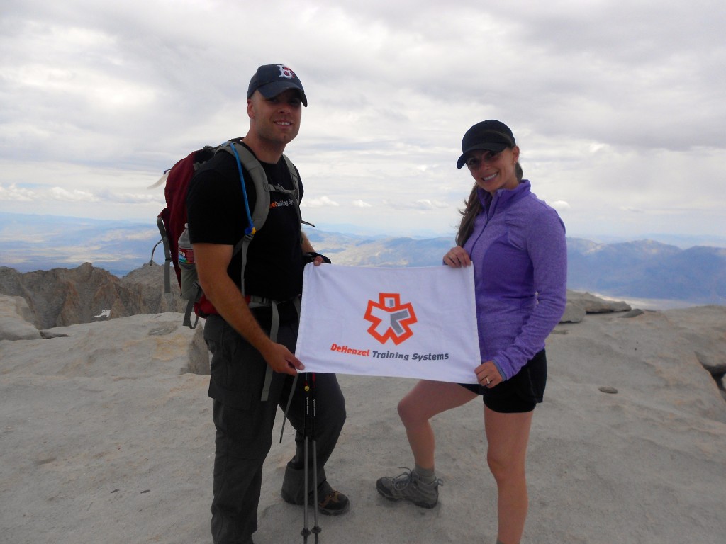
2:30pm: We began our descent down the mountain. It was a short stay at the top. Enough time to take the view in and snap some obligatory pictures – we needed proof that we made it to the summit! We knew that it would be a long journey down the mountain and one that would be partially done in the dark.
8:30/9pm: As we re-entered the tree-line, we took our headlamps out as it was beginning to get dark. While the morning hike was in the dark, the trail had other hikers. At this point, we were the only hikers on the trail, since we summited last. Most hikers had either made it down already or were camping. This was a bit of an uncanny feeling since we hadn’t navigated this part of the trail in the dark coming up the mountain. I’d be lying if I said we weren’t slightly worried about bears, mountain lions, and other not-so friendly animals. Thankfully, we only encountered an elk!
12:45am: Roughly 21 hours/21.4 miles later, we (finally) made it back to the car. We all couldn’t wait to take our hiking boots off and head to the hotel for some much needed sleep!
Mental Tenacity
Completing Mt.Whitney over a period of 21 hours was a challenging task to say the least. Believe or not, it wasn’t so much the ascend that was difficult, but the descend. It was a mental battle throughout the 9 hours down the mountain. Our bodies were tired, we were hungry (sick of the food we had), and mentally, we felt like the bottom of the mountain would never come.
However, with a positive (expect for a few moments!) mentality, we were all able to persevere and keep one foot in front of the other. Hiking Mt. Whitney is proof that you should never underestimate what your body or mind can do. Anything is possible if you put forth the hard work, dedication, and determination.
In Retrospect
In retrospect, we all felt that we should have left a few hours earlier for our hike as we had underestimated the time it would take to summit the mountain. We could have also taken a few less breaks. These two factors would have allowed us to complete our hike in less time and reach the base of the mountain a little earlier, and ideally within daylight.
On the flip side, we were all really pleased with how our bodies handled the hike and how we felt afterwards. Everyone was a bit sore the following few days, but nothing major. All of our incline walking on the treadmill with our boots and pack, as well as endless squats, lunges, and step ups, really paid off!
A Big Shout-Out
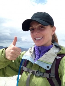
Jason and I would like to thank our amazing clients for inviting us on this incredible journey. You have both opened up our eyes to the endless possibilities of adventures that lay ahead.
Steve, if you are reading this, you were an excellent leader! Thank you for all of your planning, preparation, and leading the group to the summit. We truly couldn’t have done it without you!
Jenn, if you are reading this, you were a warrior! To take on such a challenge with an ankle that was sprained two weeks prior, is an amazing accomplishment. Your perseverance and strength was outstanding. You rock!
Written by Sophie DeHenzel
Conquering Mt. Whitney
About DeHenzel Training Systems: DeHenzel Training Systems offers In Home Personal Training services throughout Northern Virginia and Washington DC. Aside from in home, personal training is also available at the office gym or outdoors at a local park.
Within Northern Virginia, we service Loudoun, Fairfax and Prince William Counties including: Alexandria, Annandale, Arlington, Ashburn, Burke, Centreville, Chantilly, Fairfax, Falls Church, Great Falls, Herndon, Lansdowne, Leesburg, Lorton, McLean, Oakton, Reston, Springfield, Sterling, Tyson’s Corner, Vienna and Woodbridge.
